
Full catalogue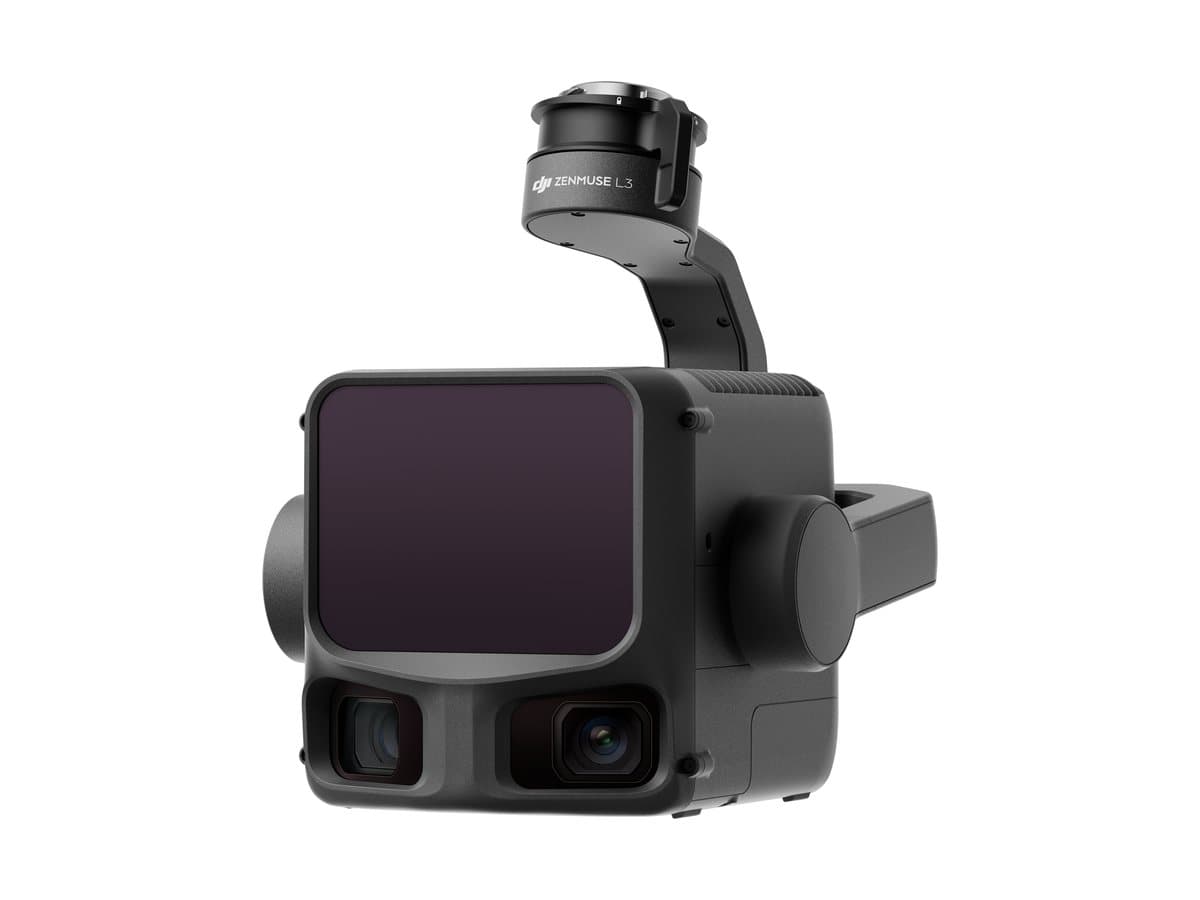 1 / 5
1 / 5
1 / 5Payloads
Zenmuse L3
Long-range LiDAR for surveying
A long-range aerial LiDAR paired with two mapping cameras, to cover large areas in a single flight.
Highlights
- Long-range LiDAR
- Two 100 MP mapping cameras
- Point clouds and orthophotos in DJI Terra
Interested in this product?
We will prepare a quote tailored to your mission, including training and support.
Request a quote