
Full catalogue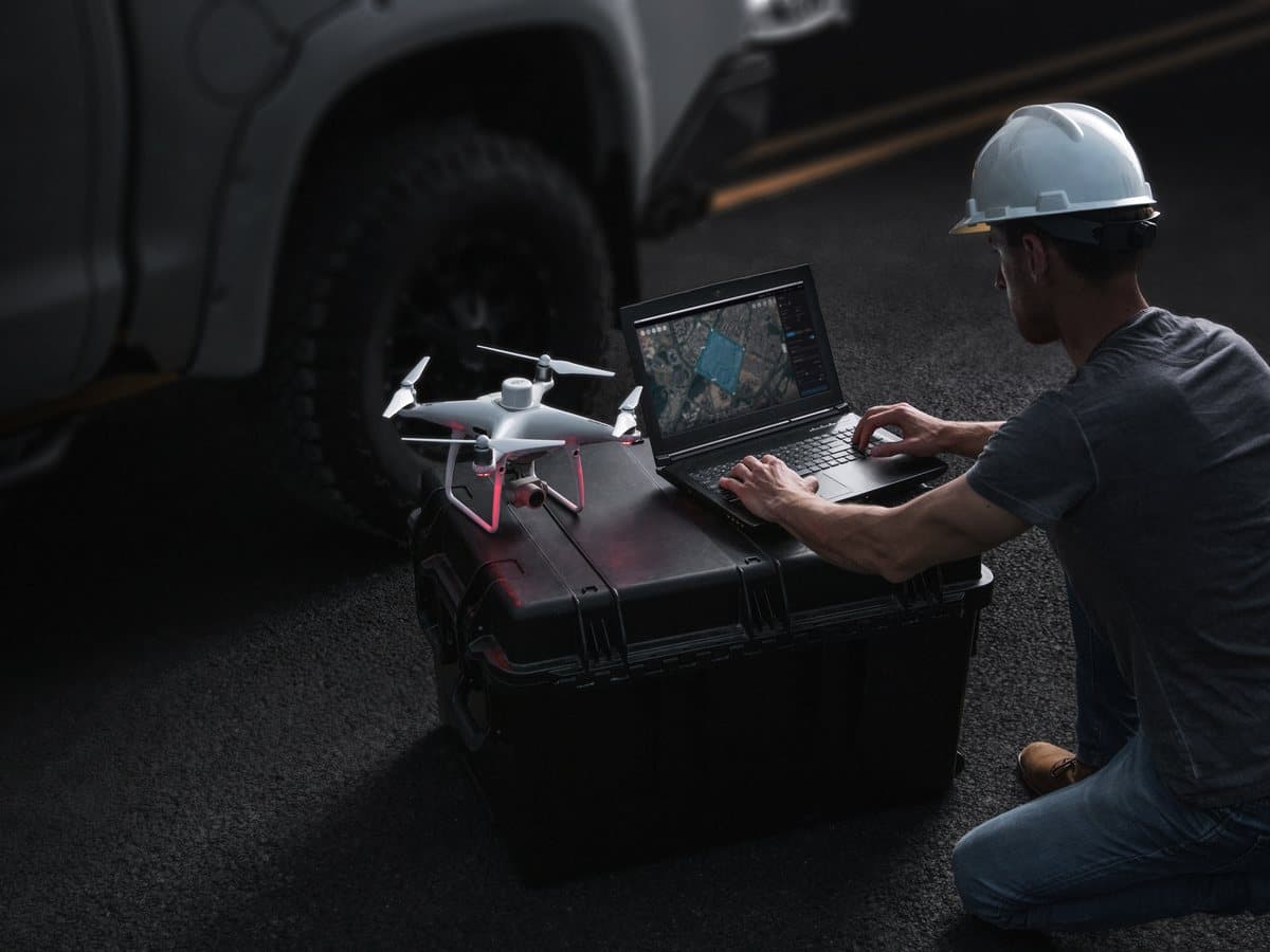
Software
DJI Terra
Mapping and 3D modelling
The software that turns your photos and LiDAR data into orthophotos, point clouds and 3D models.
Highlights
- 2D and 3D reconstruction
- LiDAR data processing
- Measurements and exports for engineering
Interested in this product?
We will prepare a quote tailored to your mission, including training and support.
Request a quote